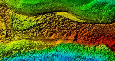
How UAVs Support Geospatial Analysis in the UK
Discover how UAVs support geospatial analysis in the UK, transforming the way we approach mapping, terrain modelling, and asset monitoring. This post explores the power of geospatial drone surveys, UAV mapping, and GIS drones for applications like flood risk assessment, urban development planning, and infrastructure inspections. Learn how drone data enhances accuracy, efficiency, and decision-making across key UK industries.
